
Seeing the Unseen Across Industries
From monitoring climate change to securing national borders,our advanced thermal imaging solutions provide a
new way to see, analyze, and act.
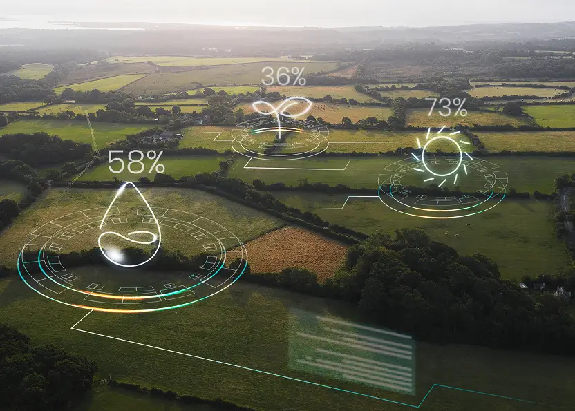
Agriculture
Farmers and agronomists rely on thermal intelligence to detect early signs of crop stress, irrigation issues, and soil moisture imbalances. By analyzing temperature variations in farmland, Satleo helps optimize resource use, prevent drought-related losses, and improve agricultural yield through precision insights.
Archaeology & Geology
Buried structures, ancient civilizations, and geological anomalies leave behind thermal signatures. Satleo’s sensors detect heat variations underground, helping archaeologists and geologists uncover hidden ruins, mineral deposits, and seismic activity zones with greater precision than ever before.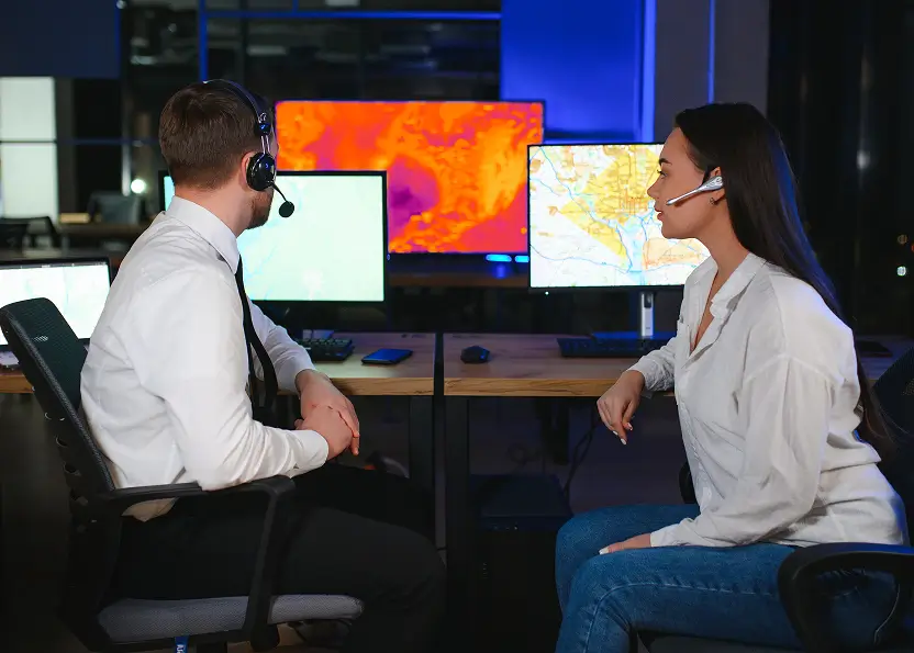
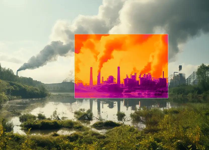
Climate Modelling
Understanding climate change requires more than surface-level data. Thermal imaging tracks rising land and ocean temperatures records environmental heat fluctuations, and provides accurate datasets for climate scientists. With near real-time temperature mapping, researchers can model global warming trends and develop sustainable solutions.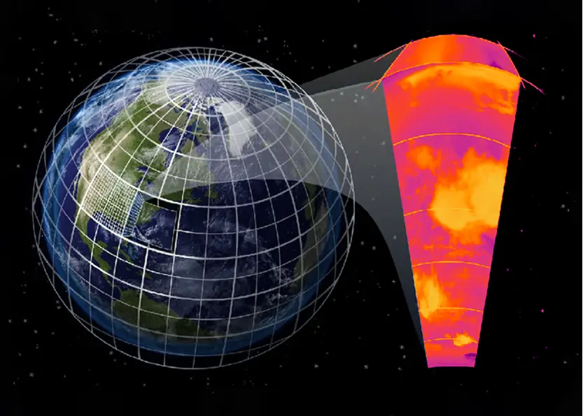
Weather Forecasting
Traditional weather models often miss critical temperature shifts in clouds, oceans, and land surfaces. Satleo’s high-resolution thermal imaging improves storm prediction, extreme weather warnings, and climate pattern analysis. By detecting temperature variations in the atmosphere, meteorologists can refine forecasting models and provide more reliable alerts.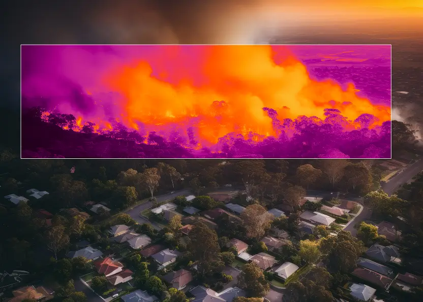
Disaster Management
Wildfires, floods, and extreme weather events can be devastating, but early detection makes all the difference. Our thermal sensors identify heat anomalies, helping disaster management teams predict fire outbreaks, track flood zones, and assess damage in real-time. With advanced satellite insights, emergency response teams can act faster and more efficiently to save lives and resources.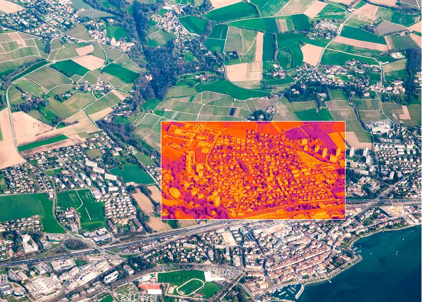
Urban Planning
Cities are getting hotter, and energy consumption is rising. Satleo provides thermal data to map urban heat islands, optimize cooling strategies, and improve energy efficiency in metropolitan areas. By identifying overheated zones and energy loss areas, city planners can create smarter, more sustainable environments.